From farm plots to global supply chains — monitor, verify, and report with confidence. Streamline EUDR compliance through scalable, API-ready geospatial intelligence.
Most companies affected by the EU Deforestation Regulation don’t have a policy problem. They have a data problem. Farm plots that were mapped once and never updated. Supplier geolocation data that is incomplete, inconsistent, or arrives in a dozen different formats. Due diligence workflows that don’t scale past a few hundred plots.
The regulation’s timeline has shifted.
The underlying due diligence obligations haven’t.
EUDR applies from 30 December 2026 for medium and large operators and traders, and from 30 June 2027 for micro and small operators.
The regulation covers cattle, cocoa, coffee, oil palm, rubber, soy, and wood, including selected derived products.
For in-scope operators, due diligence includes plot-level geolocation, deforestation risk assessment, and traceability back to the production plot.
Picterra turns fragmented supplier data into a verified, audit-ready picture of deforestation risk across your entire supply chain, at the plot level, at scale.
Ensure precision and reliability of your supply chain data with a rigorous data quality assessment process.
Learn more
Simplify the complexity of obtaining accurate geolocation data for your supply chain through seamless collaboration with suppliers.
Learn more
Apply advanced geospatial AI to assess deforestation risks in your supply chain & complement existing deforestation resources.
Learn more
Facilitate data analysis auditing through transparent documentation, ensuring compliance and accountability.
Learn more
Easily scale, customize, and automate periodic risk assessment reporting.
Learn more
Streamline the process of submitting compliance data to the TRACES system for regulatory approval.
Ensure precision and reliability of your supply chain data with a rigorous data quality assessment process.
Learn more
Simplify the complexity of obtaining accurate geolocation data for your supply chain through seamless collaboration with suppliers.
Learn more
Apply advanced geospatial AI to assess deforestation risks in your supply chain & complement existing deforestation resources.
Learn more
Facilitate data analysis auditing through transparent documentation, ensuring compliance and accountability.
Learn more
Easily scale, customize, and automate periodic risk assessment reporting.
Learn more
Streamline the process of submitting compliance data to the TRACES system for regulatory approval.
Picterra verifies production plots for deforestation risk, enabling transparent, auditable due diligence and providing the evidence required for EUDR compliance. Automated data ingestion and analysis deliver clear insights for regulatory reporting, and flexible APIs and modular workflows integrate seamlessly with existing traceability and supply chain systems.

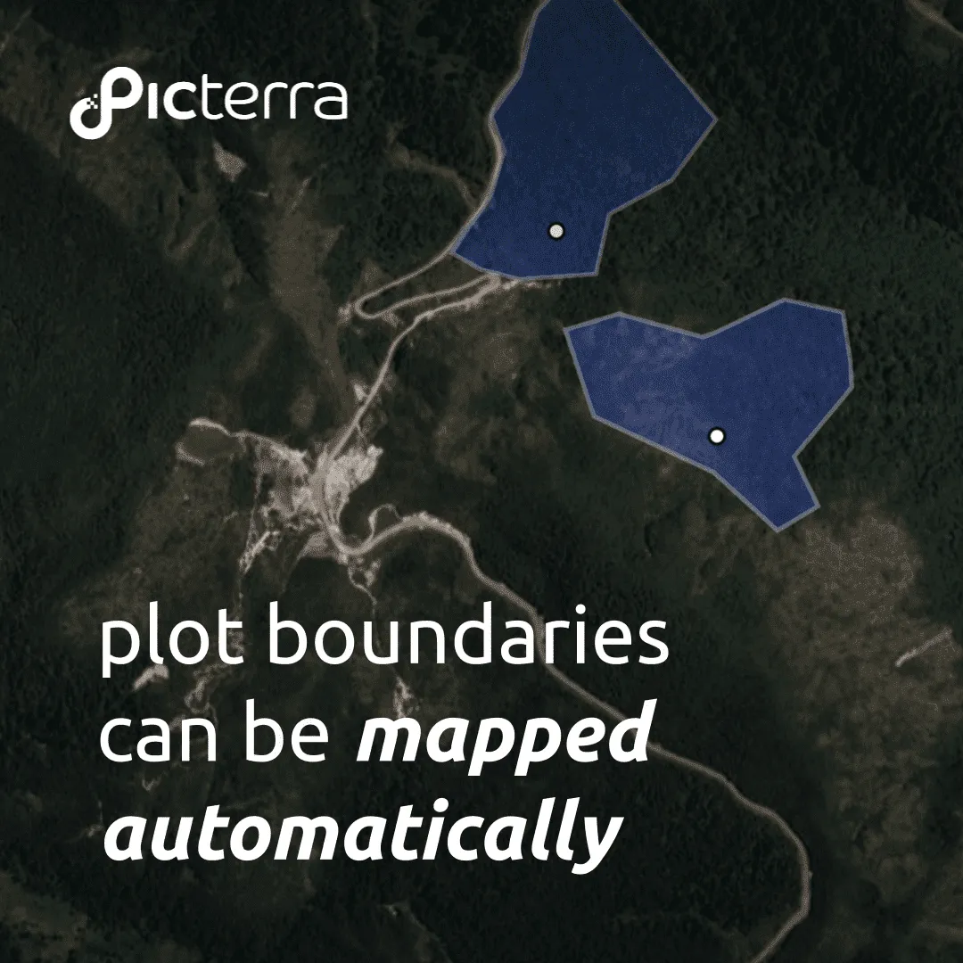
Obtaining accurate geolocation data for supply chain elements like farm plots, mills, and processing locations is often challenging. Data is frequently incomplete, outdated, or fragmented across multiple partners. Picterra digitizes sourcing parcels, intermediate storage sites, and processing facilities, and runs robust data quality verification to build a complete, accurate digital footprint of your supply chain.

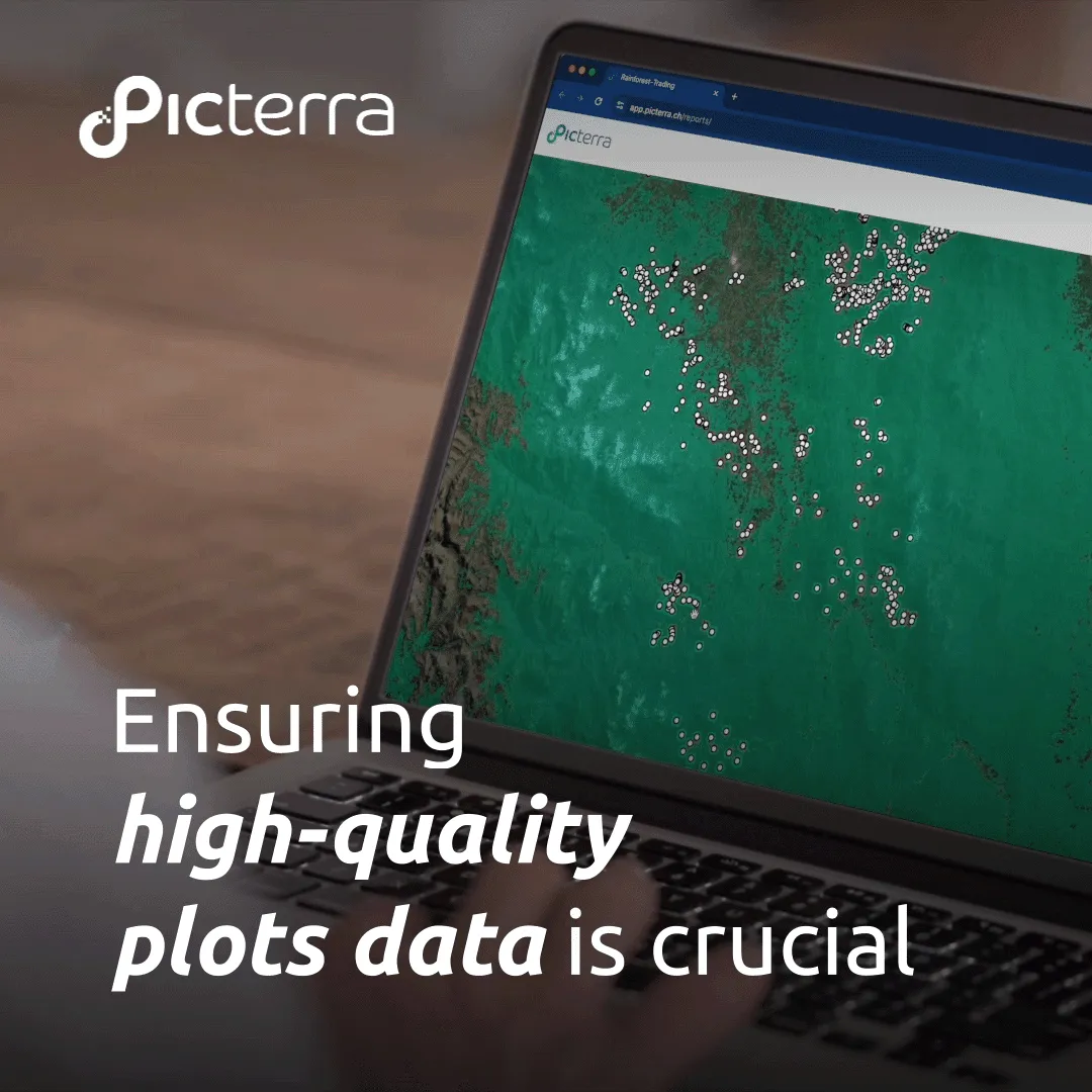
Verification of geolocation data (GPS points and polygons) is a critical step in ensuring the precision and reliability of spatial data for due diligence. Each data point undergoes rigorous quality assessment and compliance checks. Our methodology applies more than 30 calibrated stress tests, assigns a score to each farm record, and categorizes results by risk level: low, medium, or high. As suppliers update the database, Picterra verifies, cleans, and maintains records to uphold consistently high data quality.

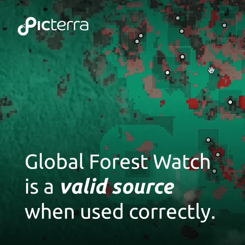
Picterra uses GeoAI to review your digitized sourcing locations against approved deforestation maps, applying a convergence-of-evidence approach: multiple layers of forest cover, plantation, land use, and high-temporal deforestation data cross-checked against high-resolution imagery. The result is plot-level insight into the deforestation status of every sourcing parcel, aligned with EUDR requirements.

The outcome is a detailed risk assessment report, with the option to subscribe to automated, periodic reports. Reports are aligned with EUDR requirements, ready for submission to the EU TRACES system, and structured to feed directly into a Due Diligence Statement (DDS). Continuous monitoring keeps your supply chain aligned with an evolving regulatory landscape.

Walter Matter, a century-old, family-owned merchant specialized in coffee and cocoa trading, needed reliable traceability across a global network of smallholder suppliers. With Picterra, their lean team uploads farm data in any format, runs satellite-based deforestation risk assessments, and generates transparent, auditable reports, all without GIS expertise or added operational complexity.
analyzed across 26 countries
managed
verified

Sustainability Manager at Walter Matter SA

With EUDR deadlines looming, Facta International turned to Picterra to build a scalable, transparent verification workflow. By analyzing up to 150,000 plots, they now assess geolocation accuracy, deforestation risk, and supplier data quality in one unified system. This enables traceability and compliance across diverse sourcing regions.
across 11 origin countries
by classified plots by deforestation risk

Trader at Facta International

From custom detector prototypes to optimized workflows and enterprise integrations, our geospatial and AI experts help your team turn imagery into impact.
Businesses face real operational challenges under the EU Deforestation Regulation (EUDR). This guide walks through the practical process: supplier data verification, plot-level deforestation risk assessment, audit-ready reporting, and how customers like Walter Matter and Facta International are already running it at scale.
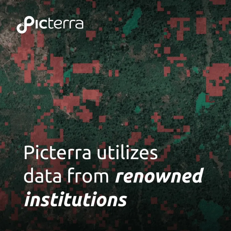
Picterra combines multiple authoritative global, regional, and commodity-specific datasets using a convergence-of-evidence approach, rather than relying on a single deforestation alert feed. By analyzing forest cover, land-use change, plantation maps, and very-high-resolution imagery, we produce plot-level deforestation risk assessments that are transparent, auditable, and aligned with EUDR requirements.
Not every tree-cover loss event represents deforestation. Harvesting commercial plantations, fires, or forest management activities can all trigger alerts. Picterra distinguishes natural forest from commercial plantations and forest degradation from deforestation, helping reduce false positives and provide evidence to support defensible compliance decisions.
Picterra accepts supplier geolocation data in common formats including GeoJSON, CSV, KML, and Excel. Automated quality checks validate and improve incoming datasets before analysis, helping organizations identify geometry issues, duplicates, or missing information and ensuring supplier data is ready for due diligence workflows.
Picterra corroborates findings across multiple independent datasets rather than relying on a single alert source. Ambiguous cases can be verified using very-high-resolution imagery, helping reduce false positives and produce transparent, defensible results suitable for regulatory and sustainability reporting.
Yes. Picterra generates transparent, plot-level evidence with traceable source imagery, timestamps, and immutable analysis records. The platform supports audit-ready workflows and prepares the information needed for Due Diligence Statements (DDS) and EU TRACES submissions while maintaining a complete audit trail.
Yes. The same geospatial intelligence can support multiple frameworks by applying the appropriate forest definitions and cut-off dates. In addition to EUDR, Picterra supports requirements for SBTi FLAG, AFi, SBTN, NDPE, and other Deforestation- and Conversion-Free (DCF) commitments, helping organizations avoid maintaining separate monitoring systems.