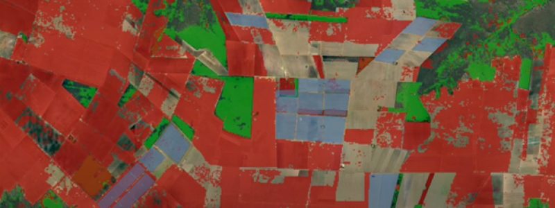
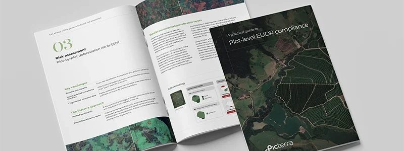
Combine satellite imagery, GeoAI detections, environmental datasets, and historical observations to generate reliable, contextualized insights for every land plot. Automate complex geospatial analysis for compliance, sustainability, and land monitoring at scale — all within a modular, API-ready solution.


Picterra Tracer supports a wide range of geospatial analysis workflows. The example below illustrates its use for deforestation risk assessment and EUDR compliance, from plot data preparation to analysis, integration, and reporting.
Import data from various sources and formats, including spreadsheets (.csv, .xls) and polygon files (KML, Shapefiles, geoJSON).
Automate data ingestion, quality verification, and geometry correction and convert them into a GIS-readable file for further analysis.
Perform deforestation risk analysis and other assessments on the data. Verified and corrected data is stored in a farm plots geospatial database.
Interactively explore the results through visualization tools.
The modular API allows customers to integrate the product into traceability and ERP platforms, as well as the EUDR Information System.
Export shipment verification and due diligence statements in EUDR-compliant formats.
Picterra Tracer is a modular geospatial analysis solution that combines satellite imagery, GeoAI detections, historical observations, and environmental datasets to generate insights at the individual plot level. It automates data validation, multi-source analysis, monitoring, and reporting through repeatable workflows, supporting applications such as deforestation risk assessment, land-use monitoring, and sustainability verification. Its API-ready architecture enables integration with existing enterprise systems.
Tracer helps teams verify plot data, assess deforestation risk, analyze land use, and export shipment verification and due diligence statements in EUDR-compliant formats. It can also integrate with traceability systems and the EUDR Information System.
You can import plot data from spreadsheets and geospatial files, including CSV, XLS, KML, Shapefiles, and GeoJSON. The page also describes imagery inputs from satellite, drone, and aerial sources.
Yes. Tracer verifies plot data and can correct geometry issues. It can also help map plot boundaries using location and area details, with detected crop patterns, canopy changes, roads, paths, and grasslands guiding boundary creation.
Tracer can detect deforestation, assess land use changes, and support carbon credit verification. The page also describes shipment verification and other assessments based on verified plot data.
Can I explore and export analysis results?
Yes. Results can be explored through visualization tools. Tracer also supports exports for shipment verification and due diligence statements in EUDR-compliant formats.
Tracer has a modular API designed to integrate with traceability and ERP platforms, as well as the EUDR Information System. Components such as data ingestion, visualization, and reporting can be selected to fit a workflow.
Tracer is designed for stakeholders in agriculture, commodities, and forestry who need to validate and monitor land plots, support compliance, or verify sustainability claims.